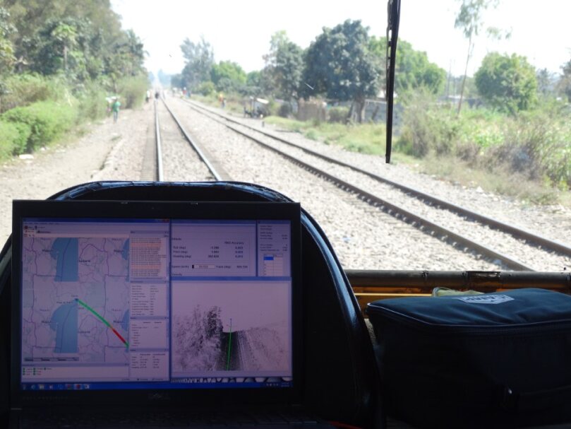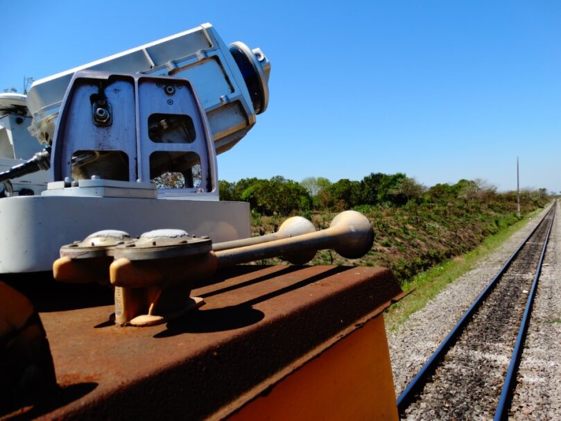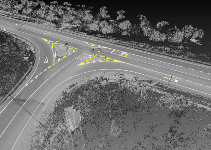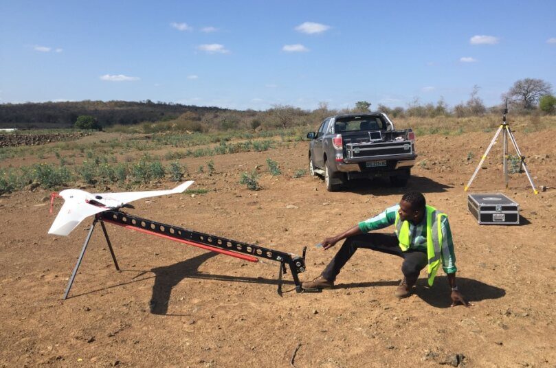
UAV Mapping
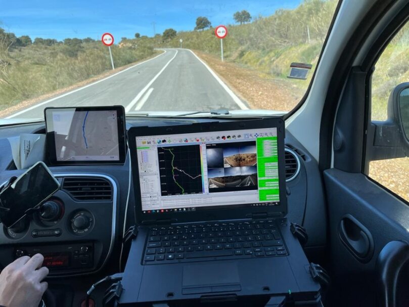
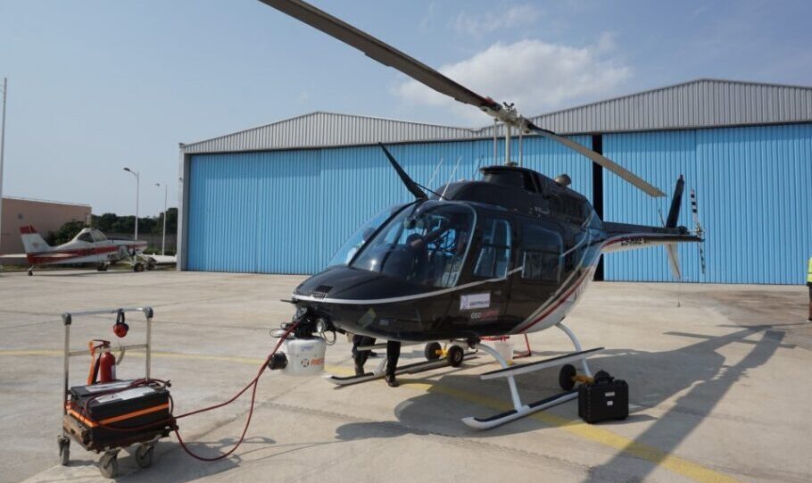
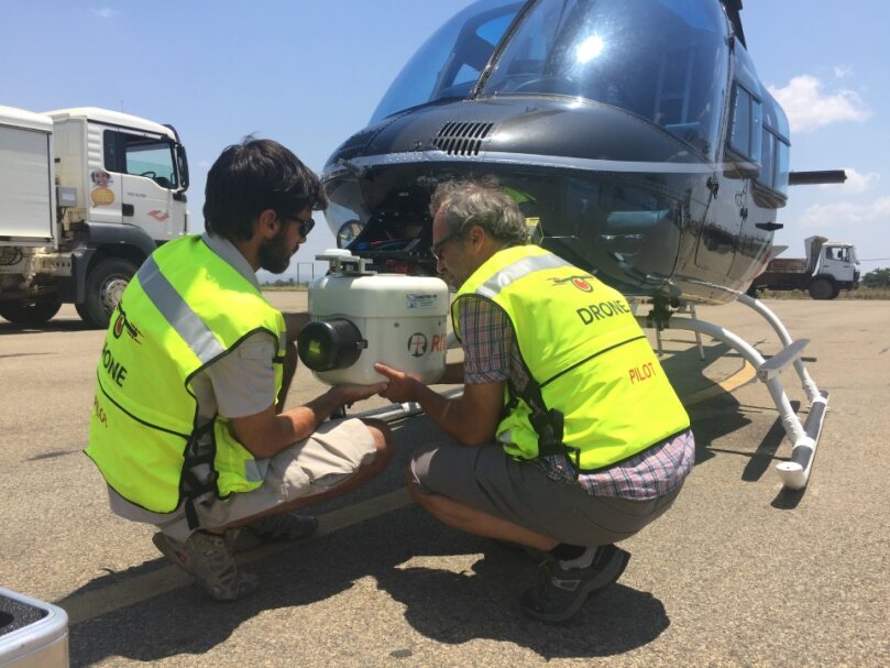
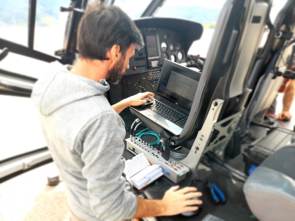
“Inovação, eficiência e precisão” é o nosso lema, e como resposta às exigências da indústria AEC, da Topografia e Cartografia, dispomos de um vasto leque de equipamentos e metodologias de mapeamento e inspeção aérea, com recurso à Fotogrametria e LiDAR aerotransportado, seguidas de um fluxo de processamento e extração de informações geográficas com criação de relatórios técnicos ajustados às necessidades de cada projeto e às exigências dos nossos clientes.
Produtos UAV Mapping
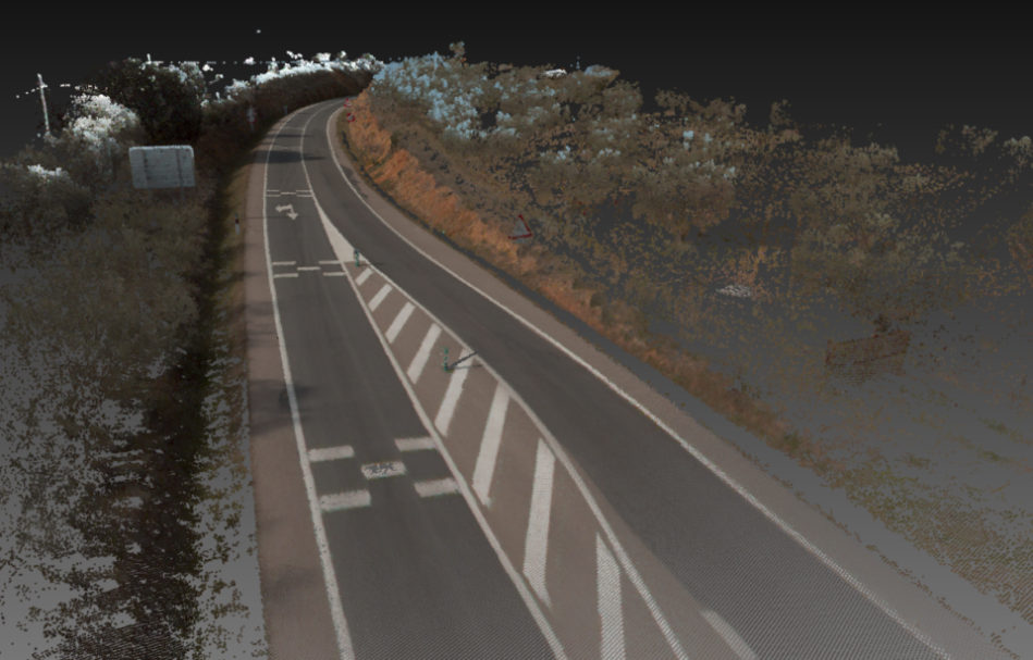
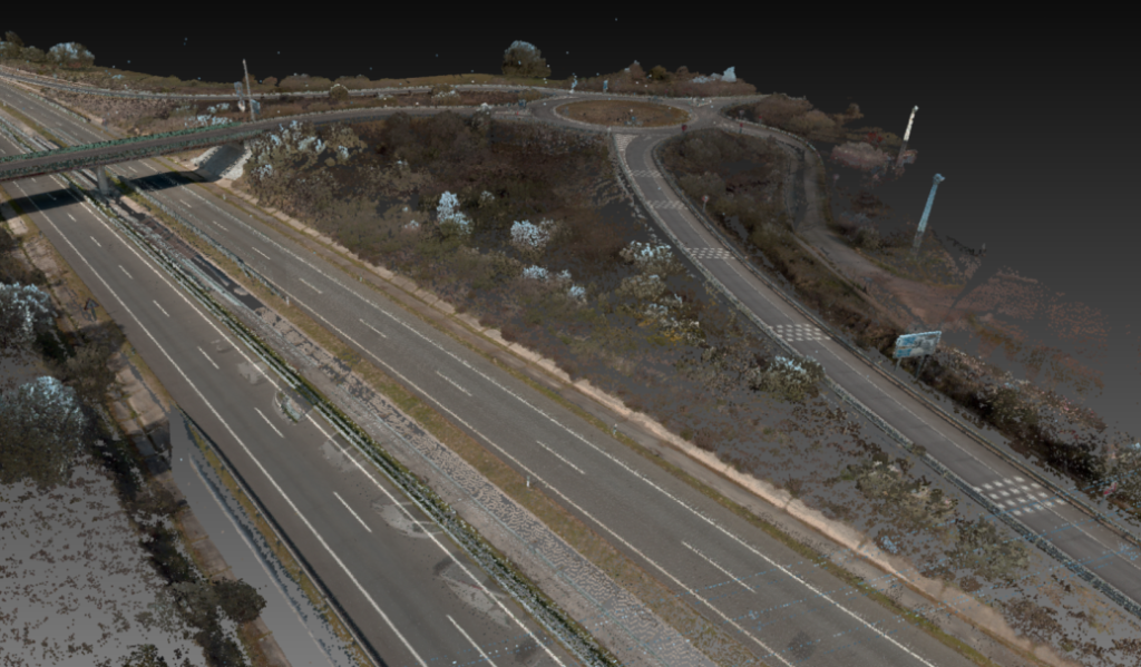
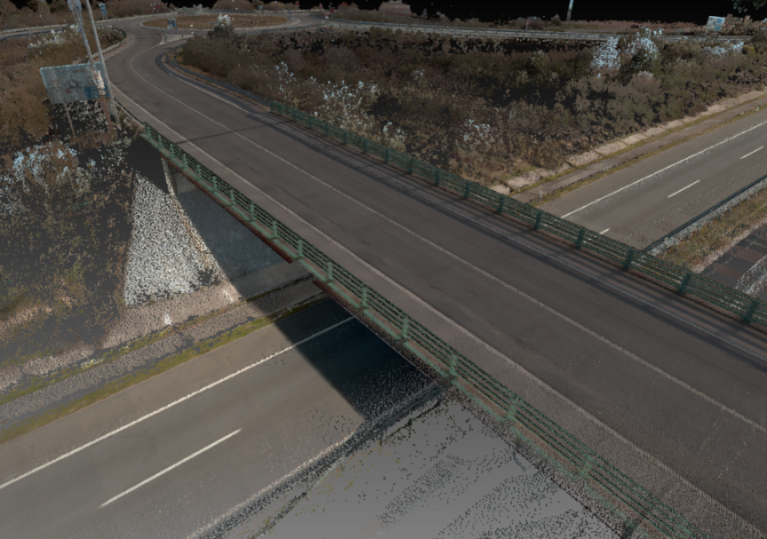
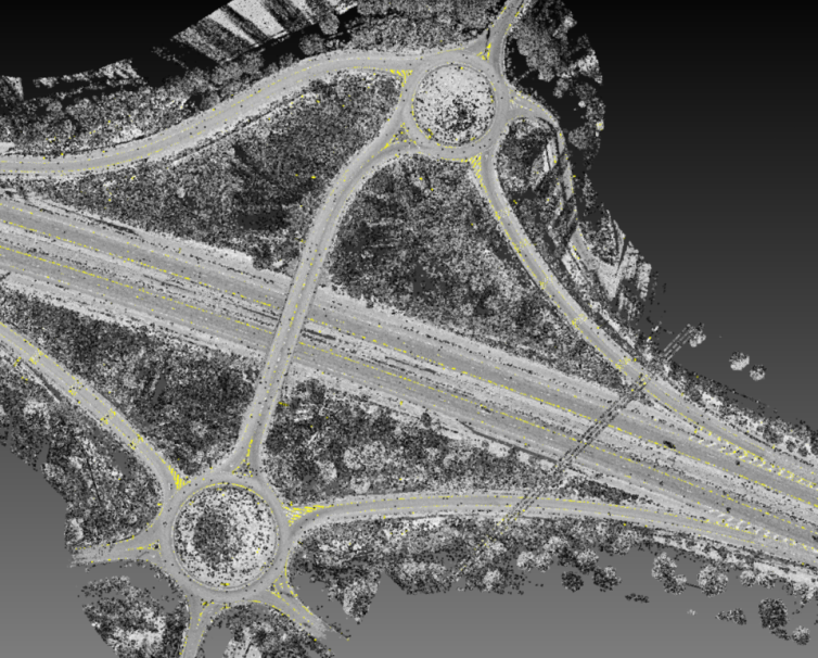
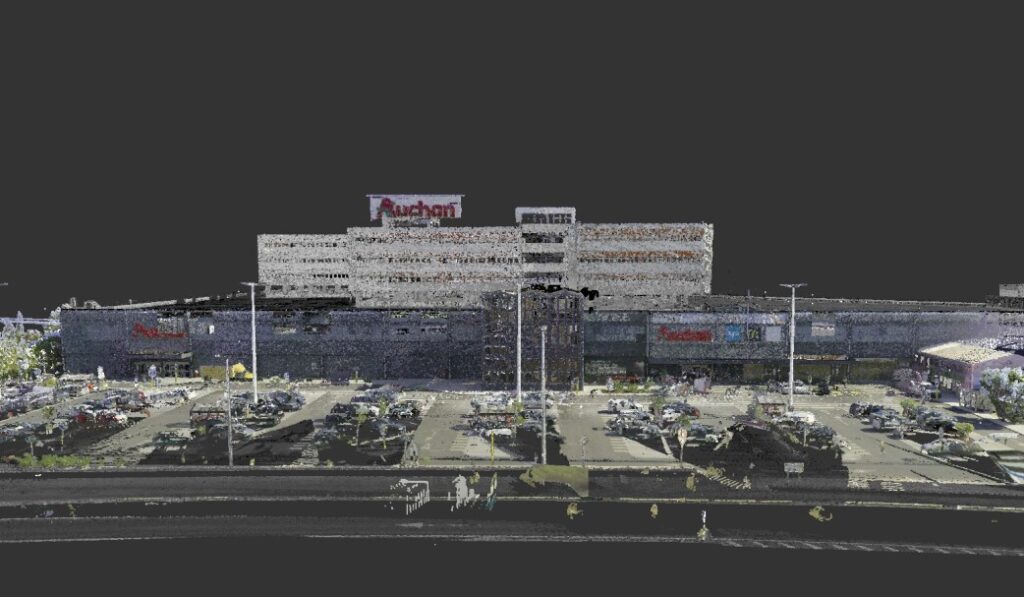
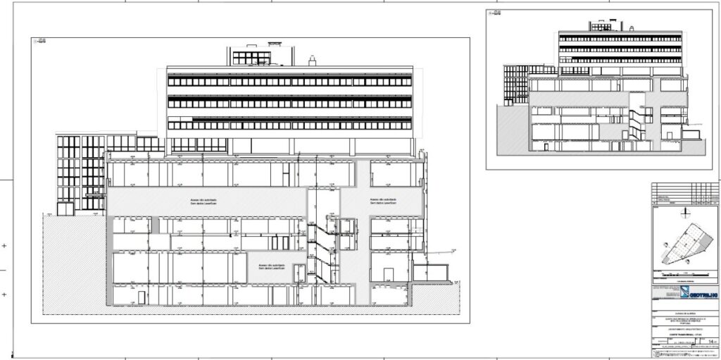
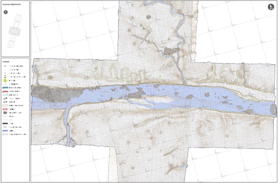
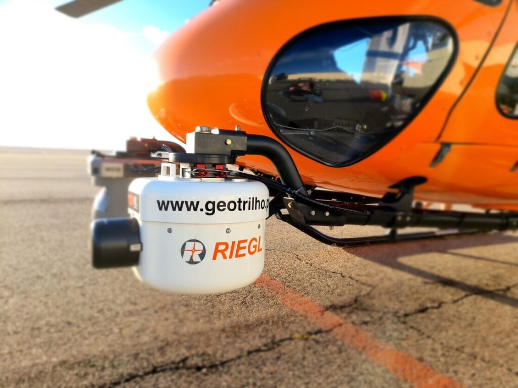
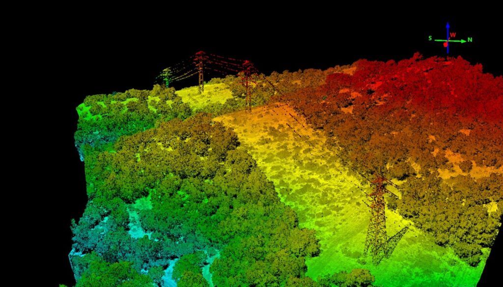
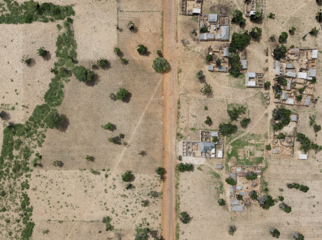
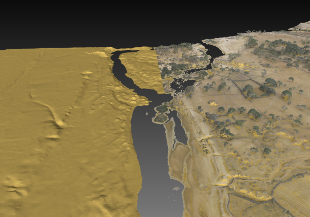
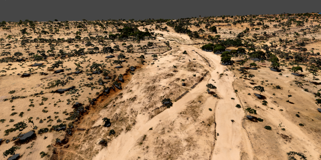
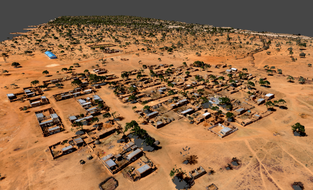
Dispomos de uma gama variada de formatos e produtos-tipo através da utilização de equipamentos UAV (Drone), tanto com sensores fotogramétricos como sensores LiDAR, e que nos capacita para a produção dos seguintes entregáveis:
- Cartografia vetorial
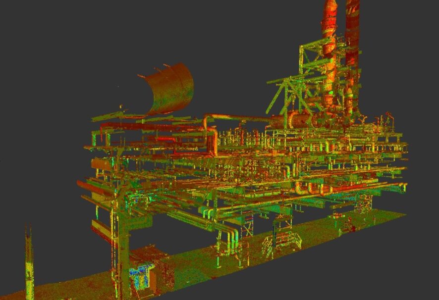
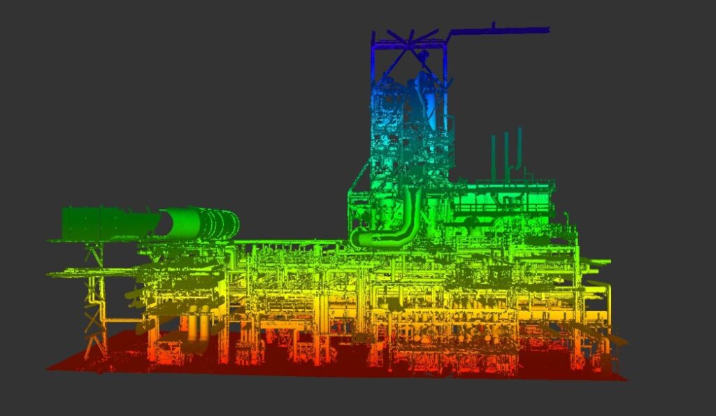
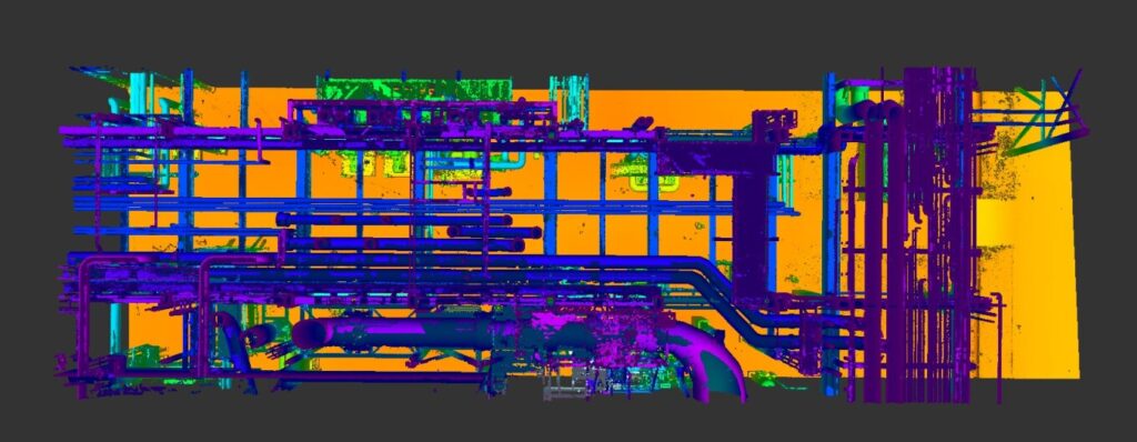
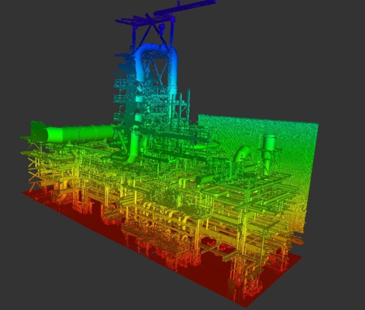
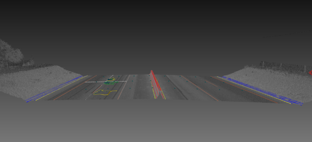
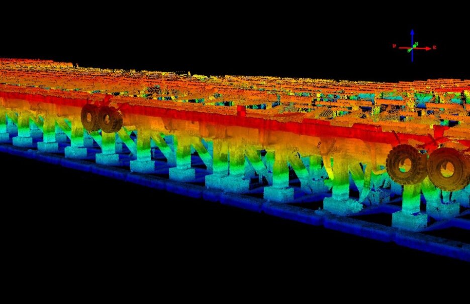
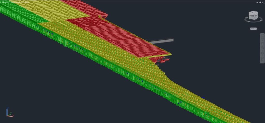
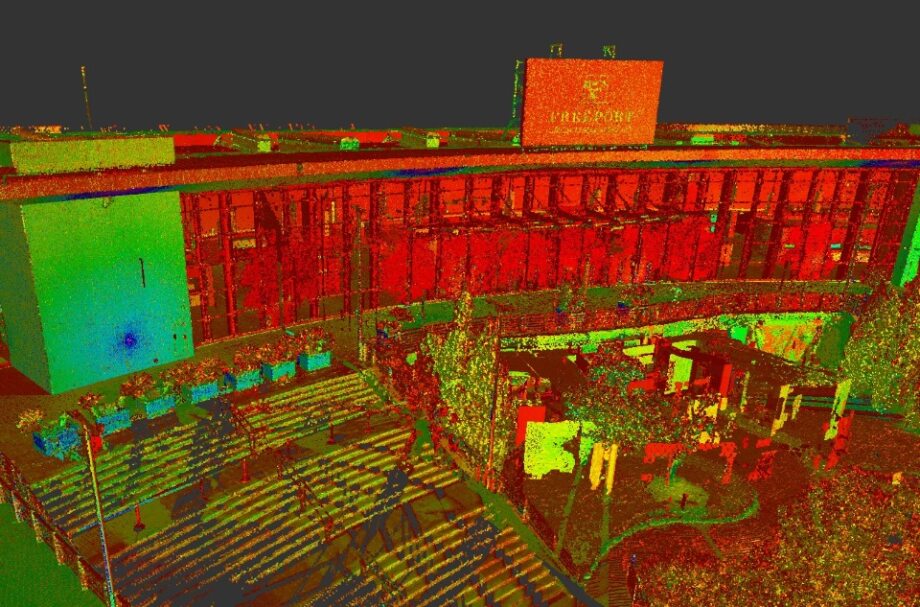
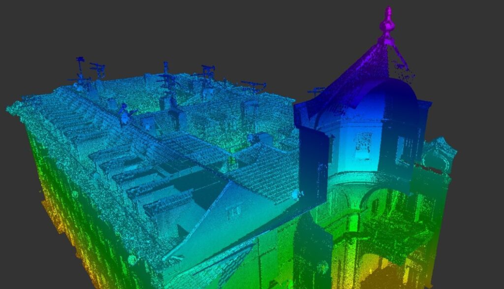
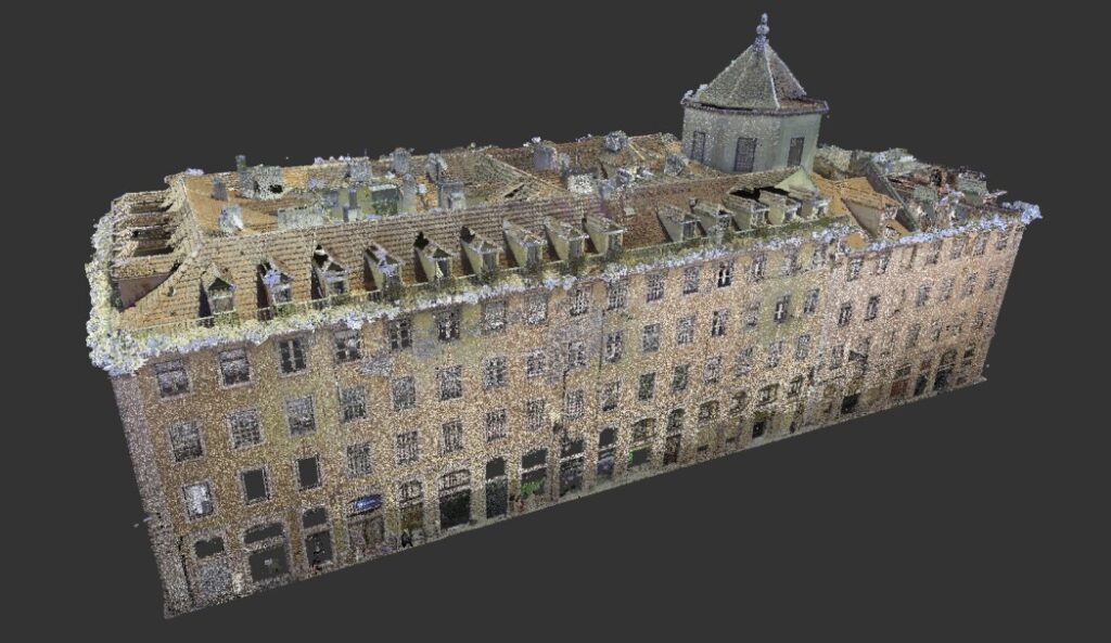
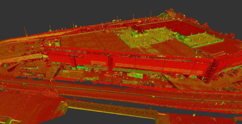
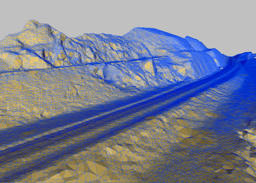
- Mesh 3D
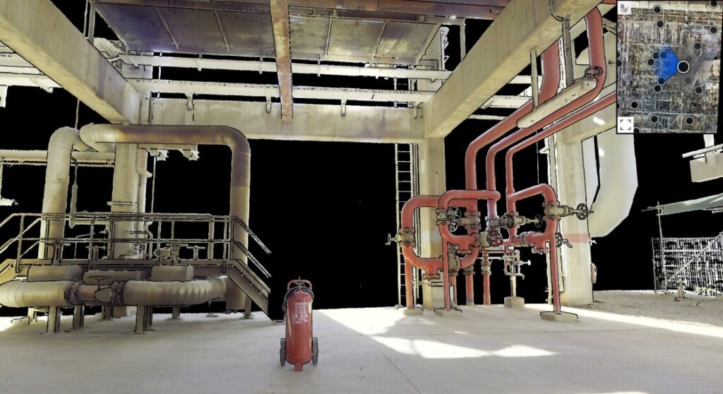
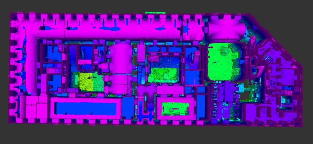
- Inventário de Ativos (CAD/GIS)
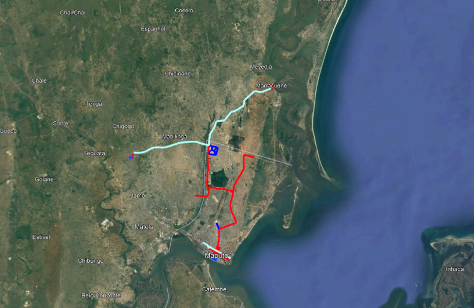
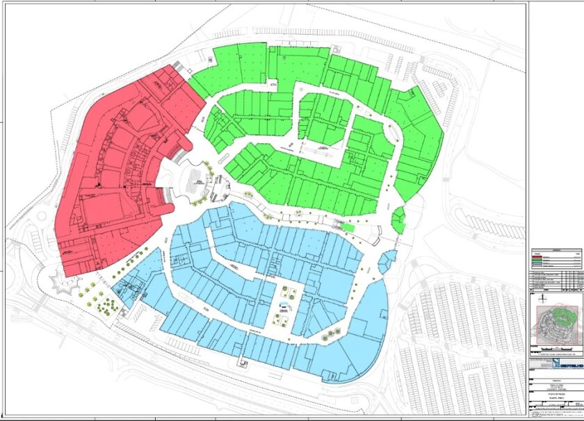
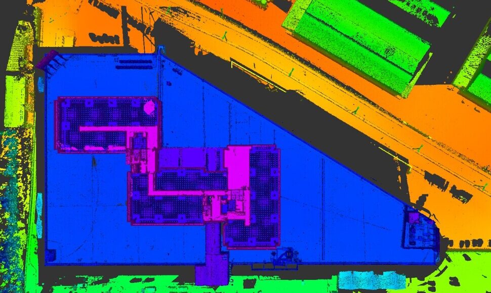
- Plantas Topográficas CAD
- Ortofotomapas de alta resolução
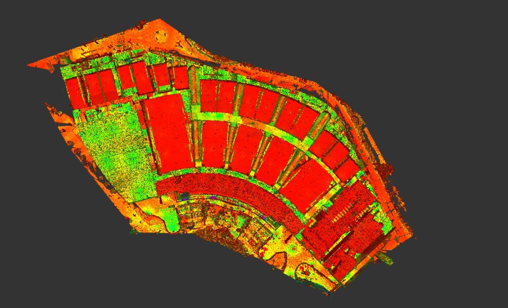
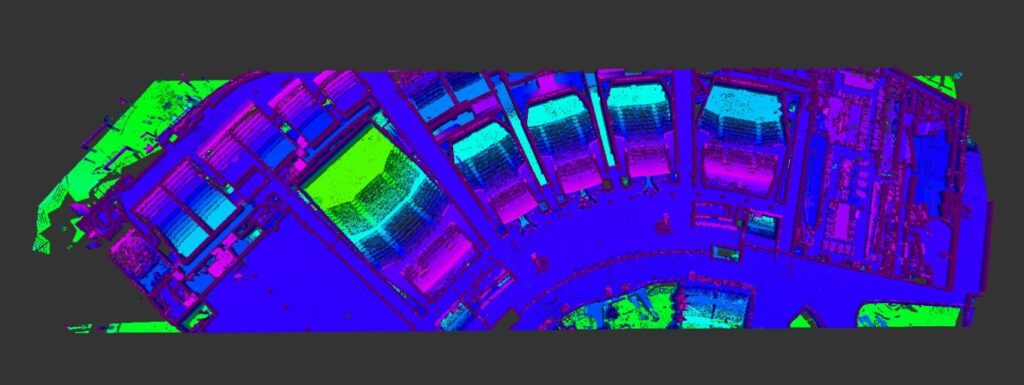
- DTM/DSM/DEM
- Medição de stocks e pedreiras
- Inspeção Visual Assistida
- As-Built (As-is)
-
Consultoria e Documentação à medida
das necessidades de projeto
Mapping the world from above Mapping the world with a flying camera The world in the palm of your...camera 3D imaging of Real-world context Ortophoto maps | Reality Meshes | Photogrammetry point clouds | DTM, DSM, DEM | 2D Maps & Cartography | GIS data
Mapping the world
from above
Mapping the world
with a flying camera
The world in the palm
of your...camera
3D imaging of
Real-world context
Ortophoto maps
Reality Meshes
Photogrammetry
point clouds
DTM, DSM, DEM
2D Maps & Cartography
GIS data
Benefícios
- Rapidez e elevado rendimento na aquisição e processamento massivo de dados geoespaciais;
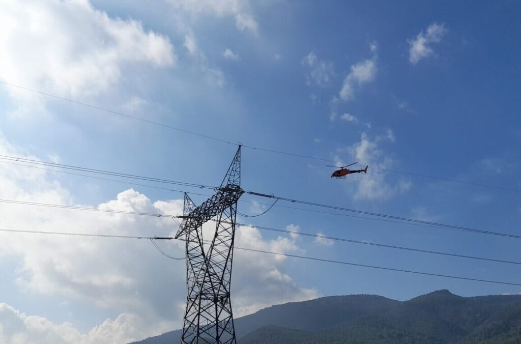
- Segurança na recolha de dados minimizando riscos humanos em campo;
- Minimização ou total respeito pelos ecossistemas mapeados, evitando a intrusão no seu normal funcionamento;
- Alta Resolução e Precisão dos dados geográficos;
- Garantia de cobertura de +95% dos elementos a mapear, evitando completagens topográficas convencionais;
- Custo-benefício aliado ao elevado grau de produtividade na captura e processamento dos dados;
- Elevadas rentabilidades técnicas e financeiras para poupar custos e tempos de projeto;
- Interoperabilidade dos dados recolhidos para uma grande quantidade de aplicações em dados LiDAR e Fotogramétricos;
- Flexibilidade e escalabilidade nas equipas de trabalho em cada projeto;
- Extração e Modelação de qualquer ativo, a qualquer momento e à escala necessária.