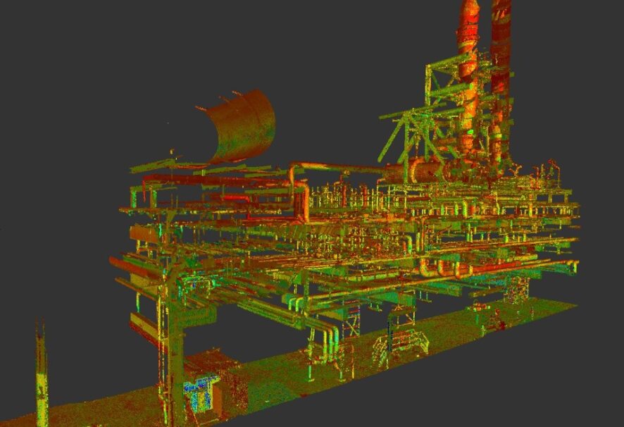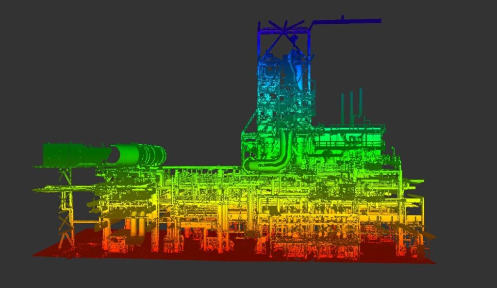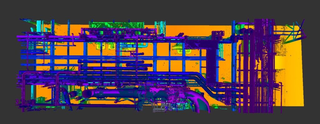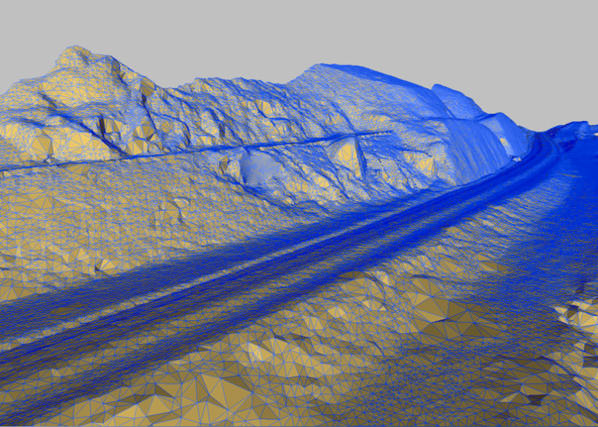

Reality Capture
A captura da realidade através da tecnologia LiDAR revoluciona a nossa perceção do mundo. Com precisão milimétrica, o LiDAR terrestre ou aéreo mapeia e conecta realidade ao mundo virtual, tornando-se fundamental em setores como a arquitetura, engenharia, construção e simuladores digitais e numa necessidade cada vez mais real, a gestão de ativos. Ao digitalizar rapidamente espaços complexos, como infraestruturas, edifícios ou cidades completas, o LiDAR capacita uma representação virtual detalhada e interativa da realidade em 3D, impulsionando a inovação em várias indústrias.

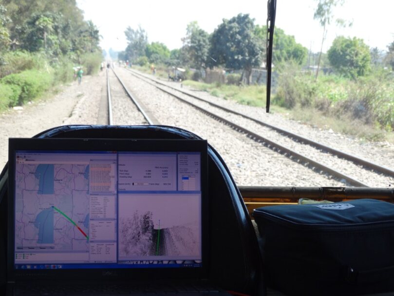
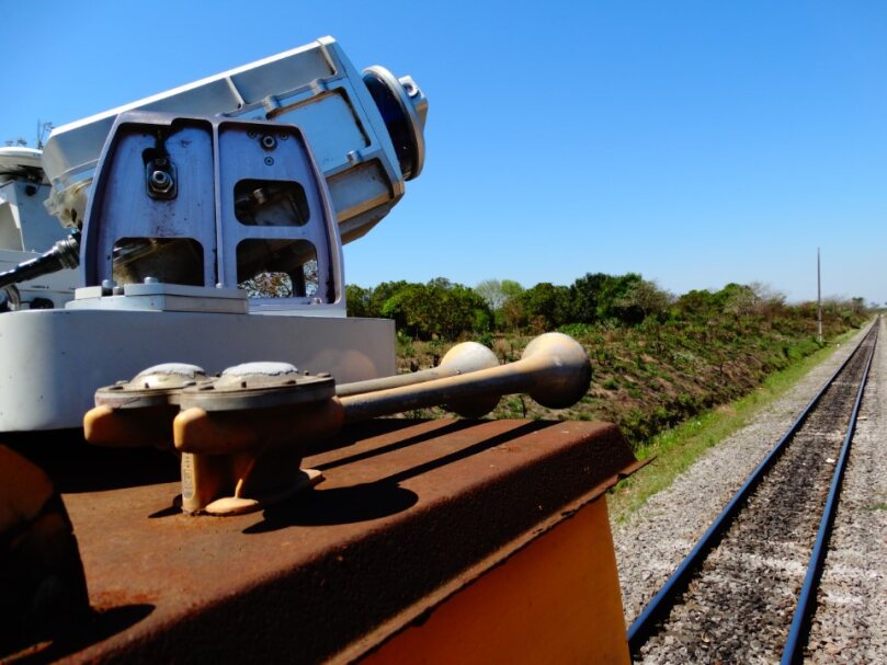
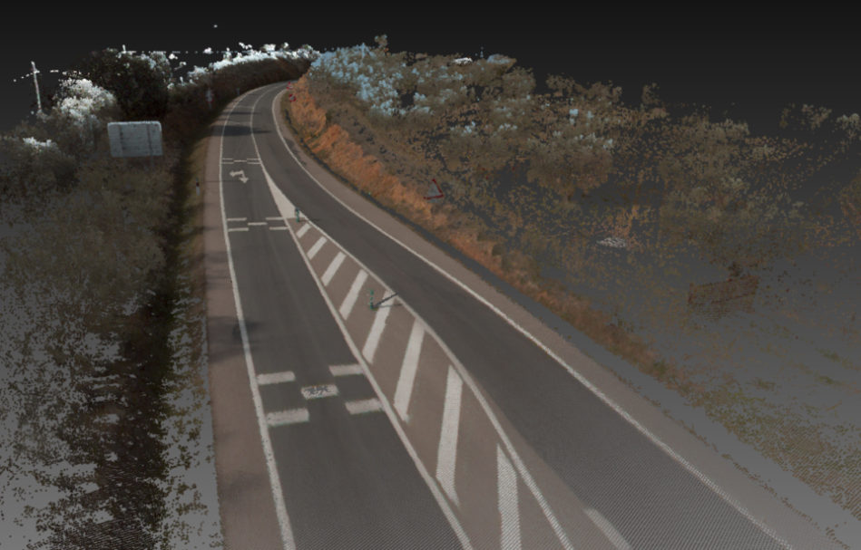
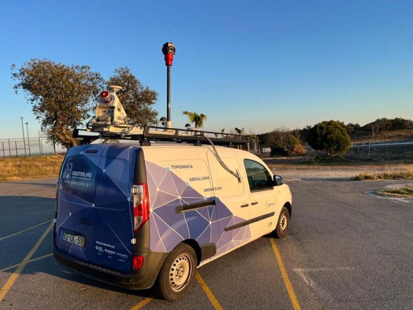
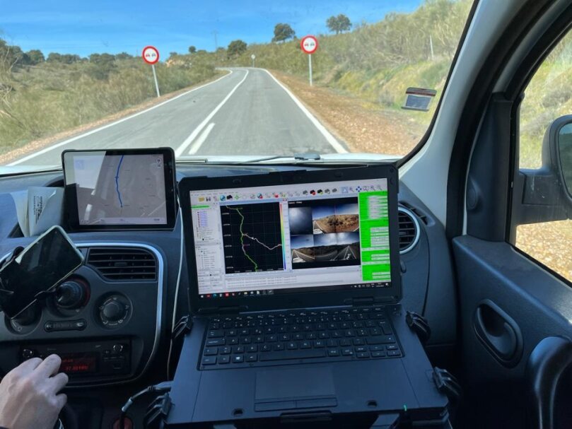
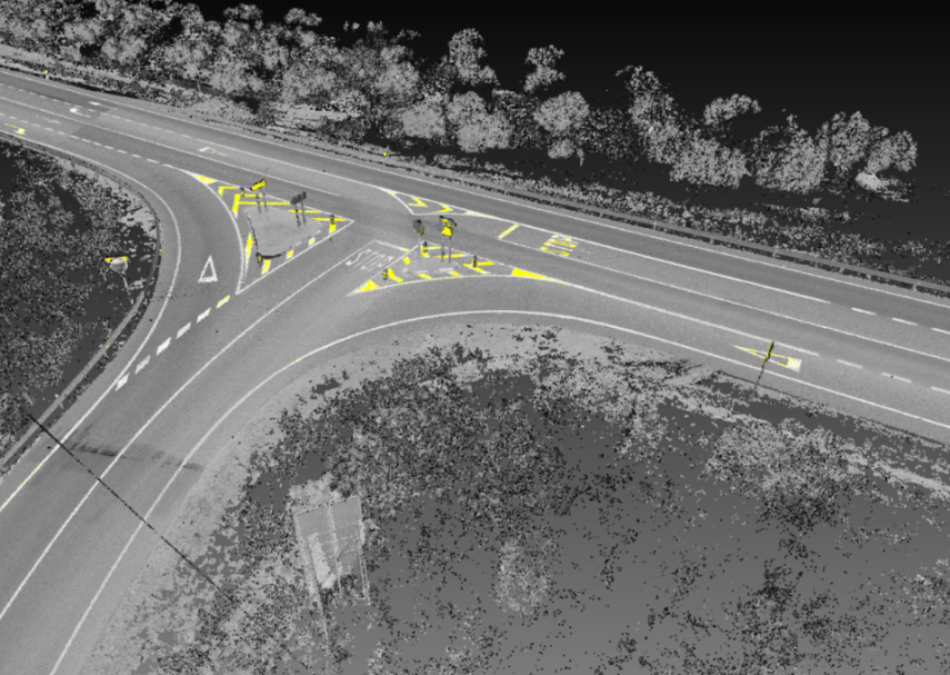
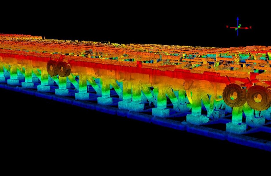
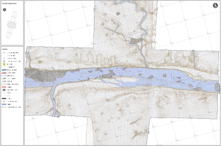
MLS
Mobile Laser Scanning
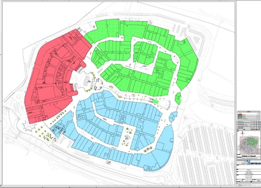
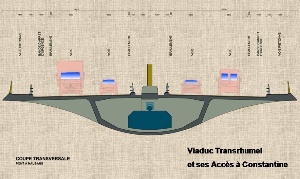
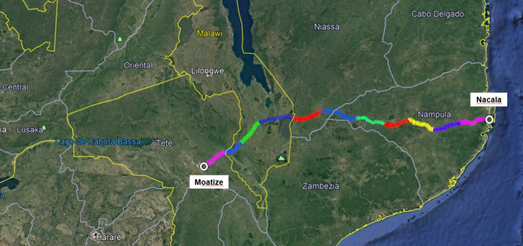
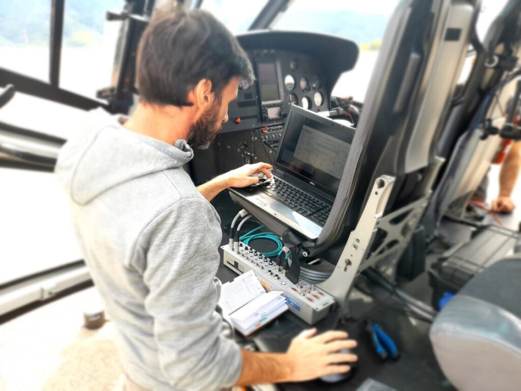
O Mobile Laser Scanning, ou LiDAR móvel terrestre, é a resposta às exigências da topografia e engenharia de infraestruturas, oferecendo uma produtividade incomparável na captura de dados massiva.
A sua velocidade e produtividade na recolha de dados, aliadas ao processamento e extração de geodados, suporta de forma rápida e eficaz qualquer projeto de infraestruturas lineares, sem prejudicar a precisão e fidelidade da realidade em terreno.
A rápida entrega de dados exemplifica o seu excecional relação custo-benefício para um mapeamento avançado.
Desde
25€/KM

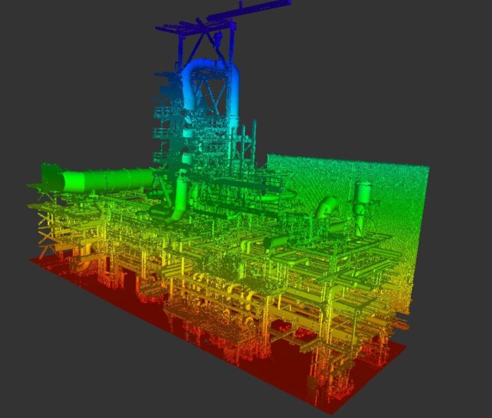
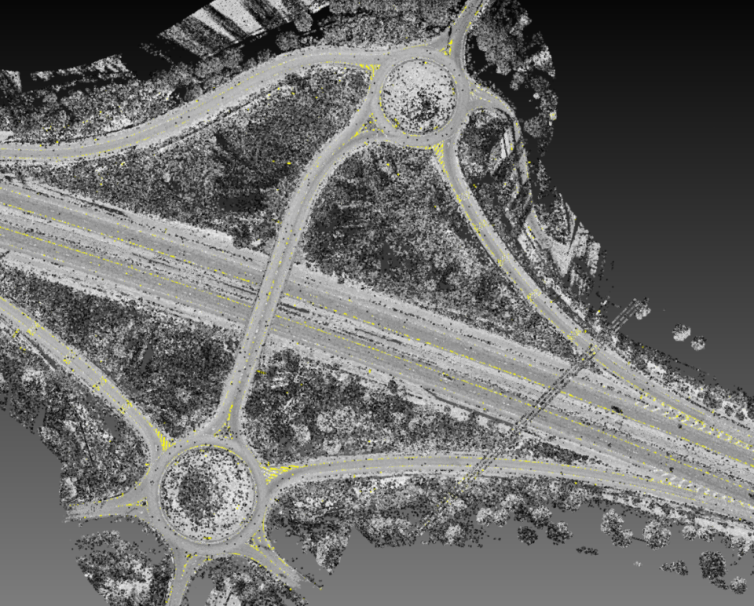
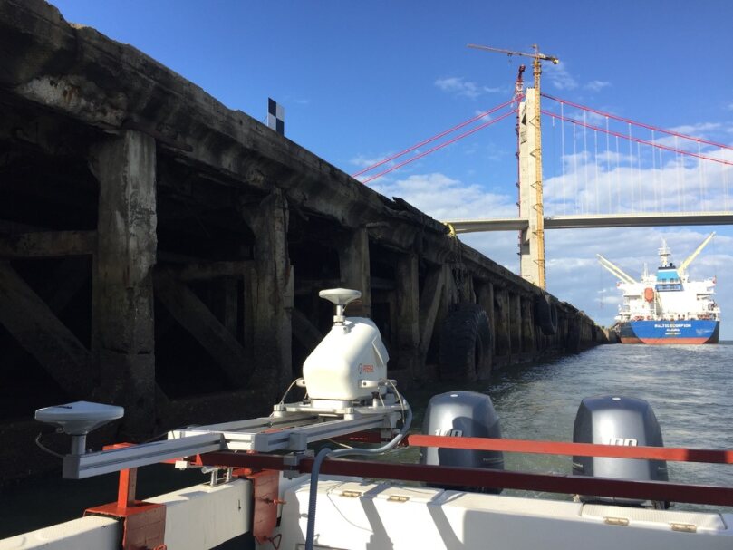
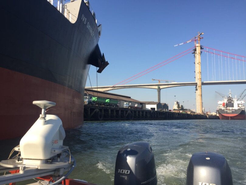
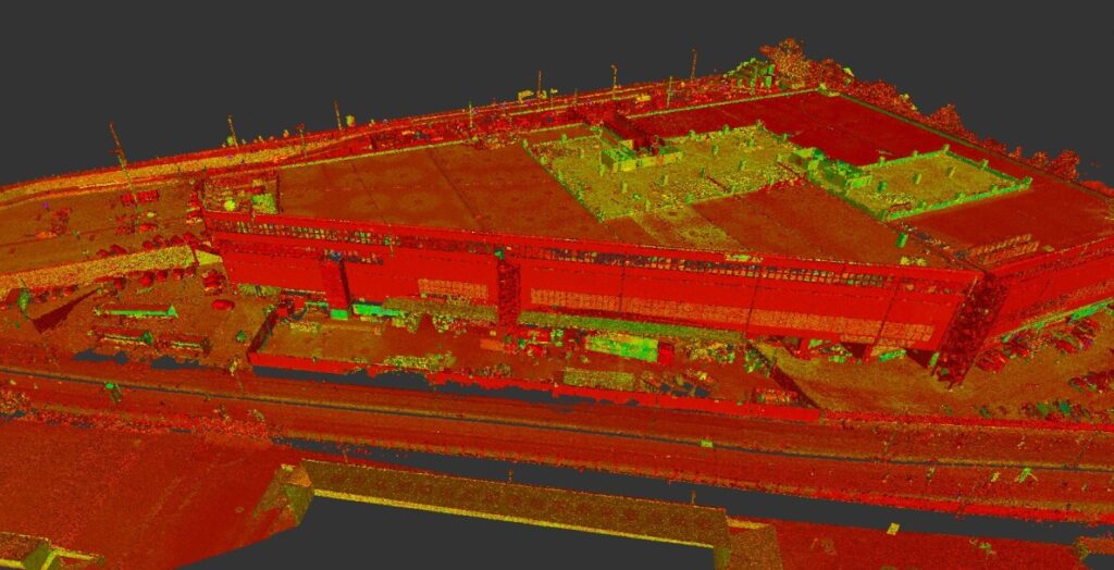
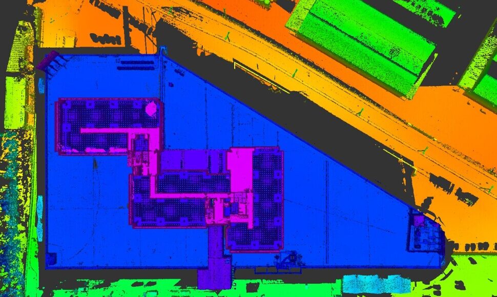
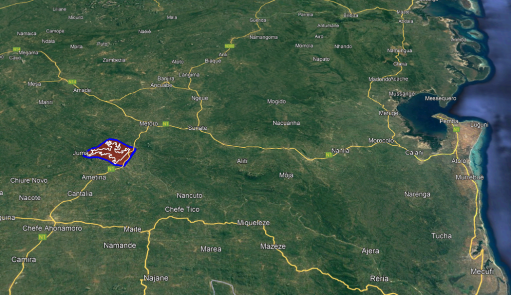
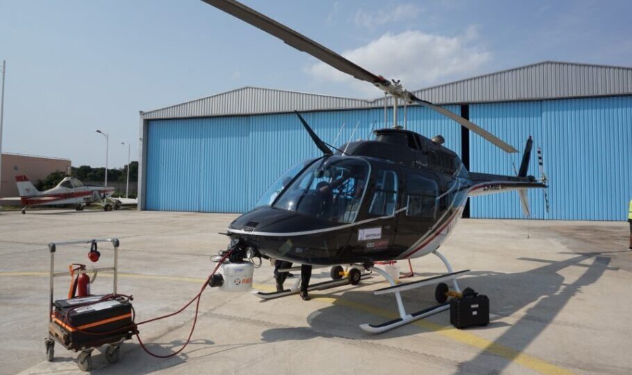
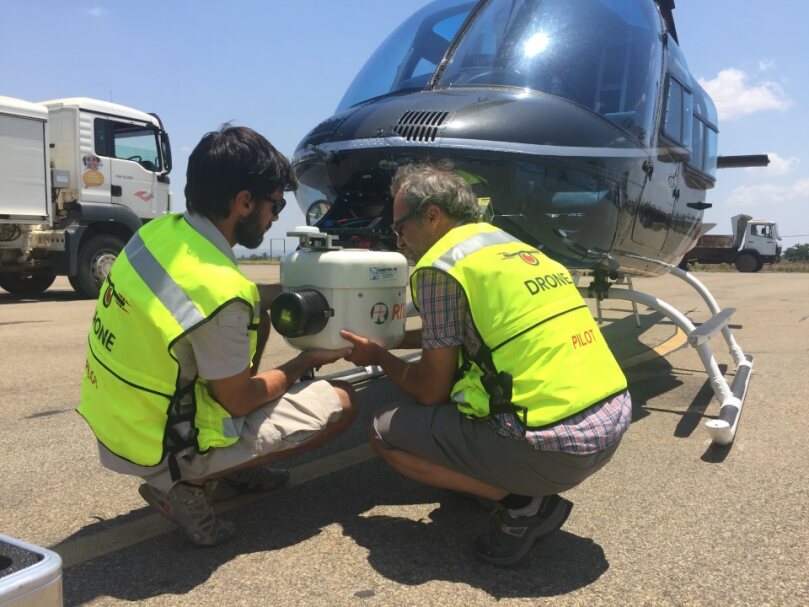
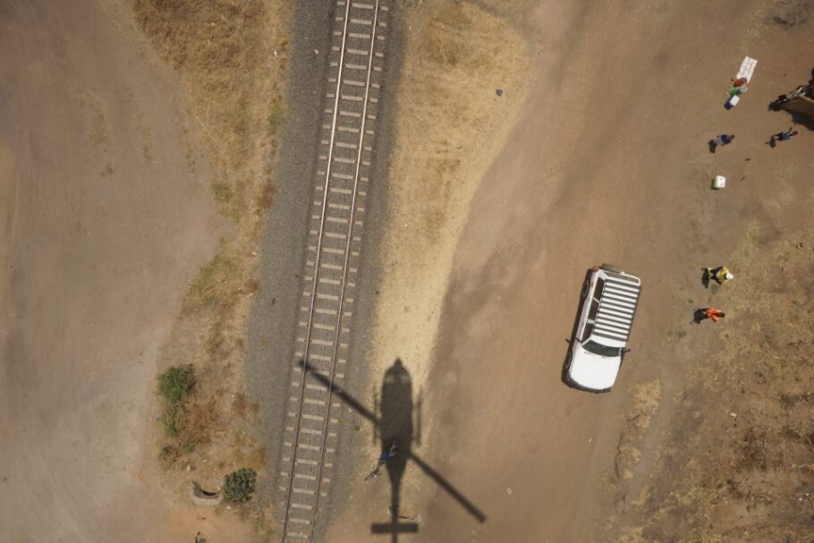
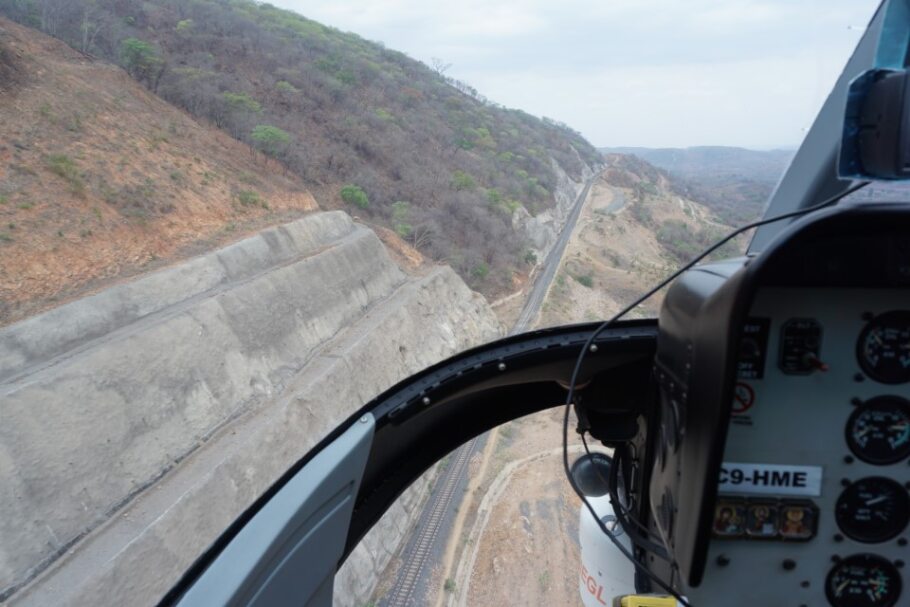
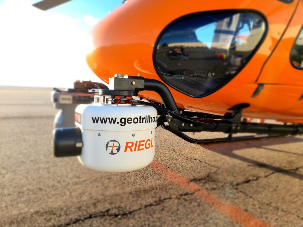
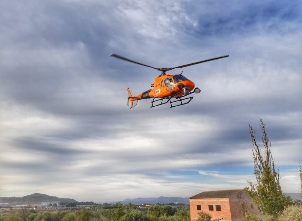
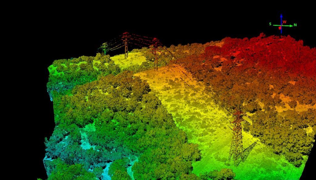
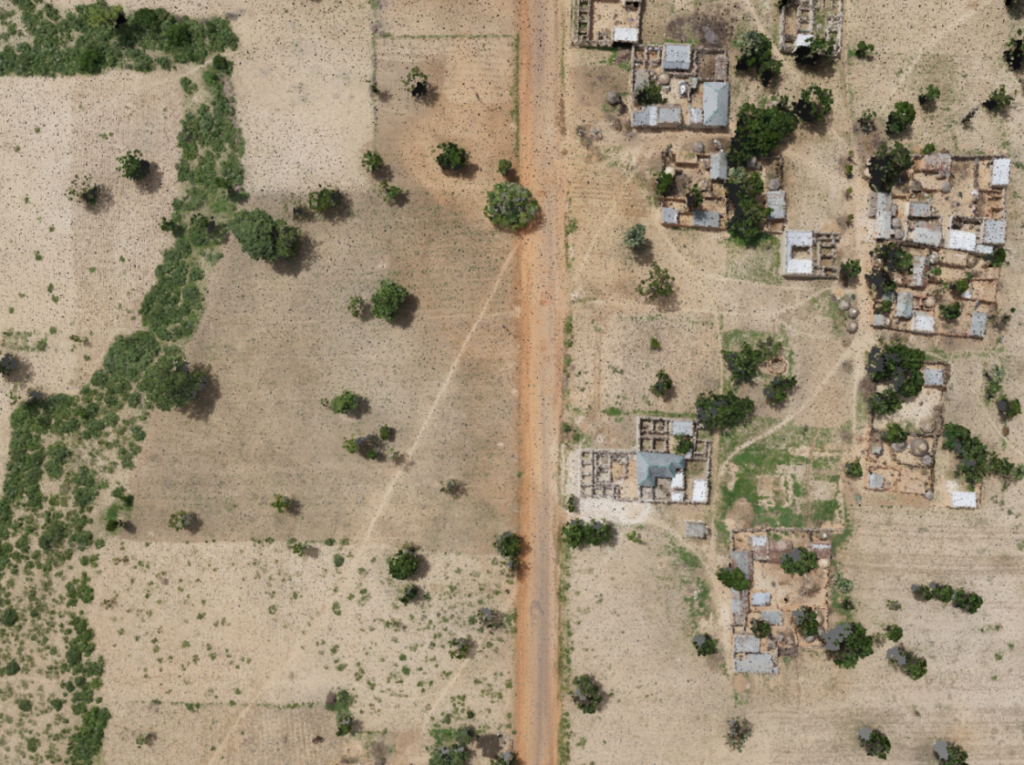
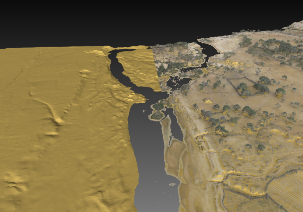
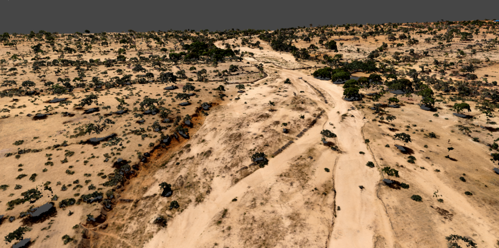
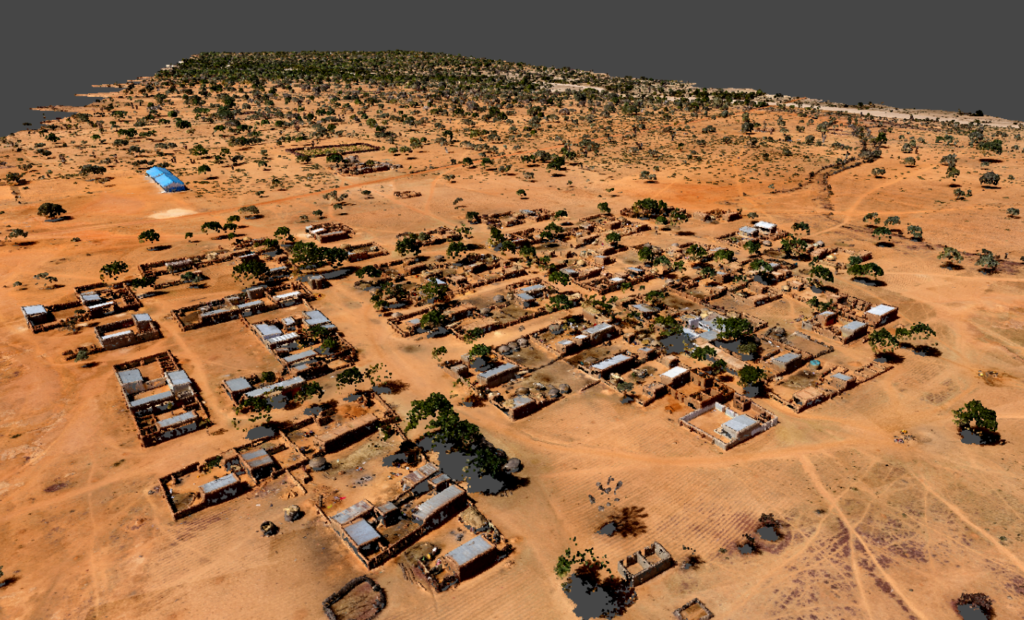
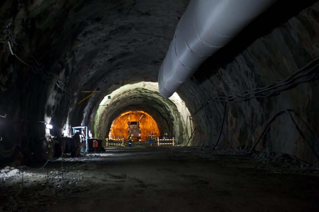
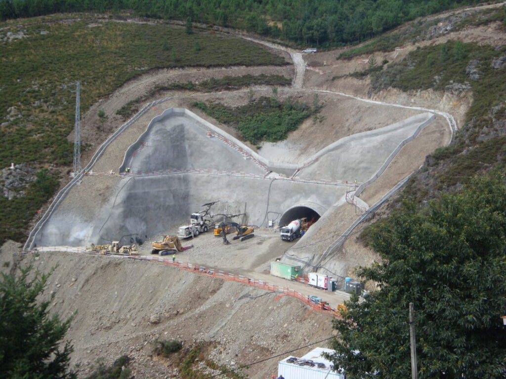
ALS
Aerial Laser Scanning
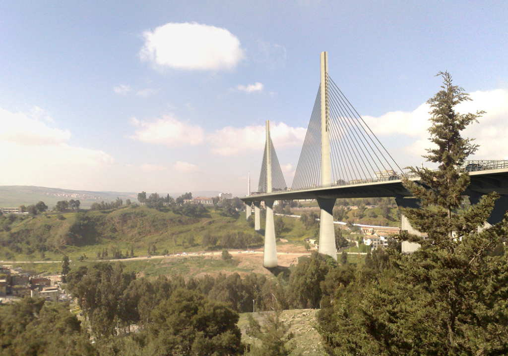
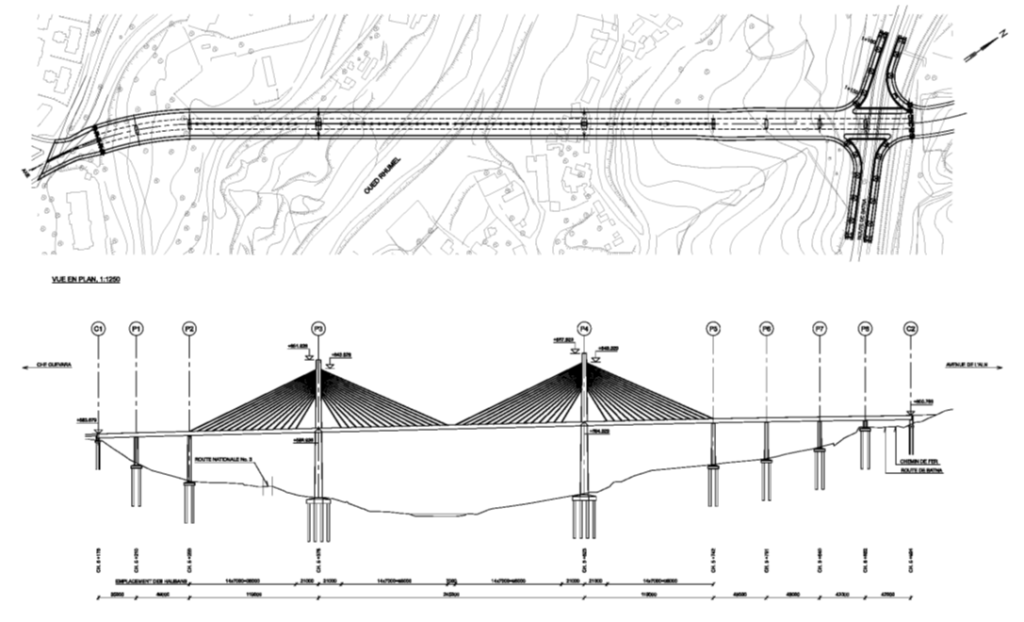
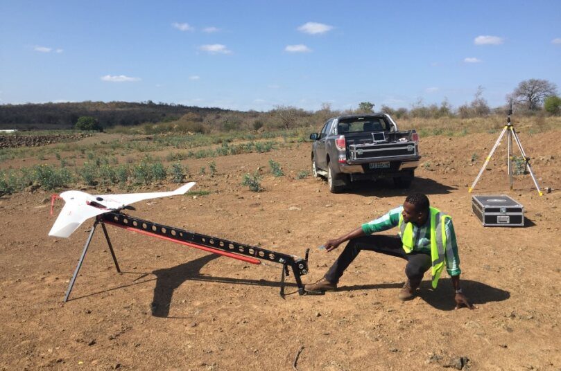
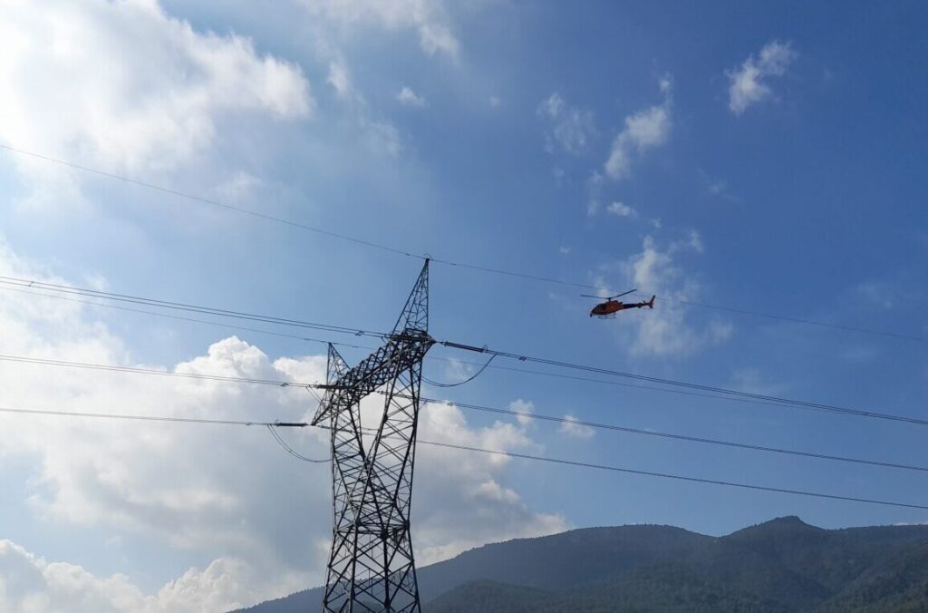
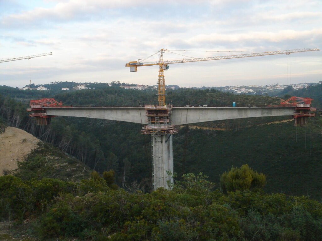
O Aerial Laser Scanning, ou LiDAR aerotransportado em avião, helicóptero ou drone, é um sistema essencial na captura de dados de larga escala, oferecendo rapidez e abrangência na captura da realidade sem intrusão ou alteração do funcionamento normal das áreas digitalizadas (levantadas).
A rapidez dos processos, precisão e nível de detalhe são cruciais para qualquer estudo prelimitar, projeto de execução, suporte à construção ou inventário e inspeção de ativos, este último com um papel de preponderante na manutenção e prolongamento da vida util das estruturas.
Com uma elevada taxa de resolução, garante a segurança e eficiência na obtenção de dados precisos, especialmente em áreas extensas, de difícil acesso, e em corredores de comunicação ou linhas de transmissão.
Desde
20€/Ha

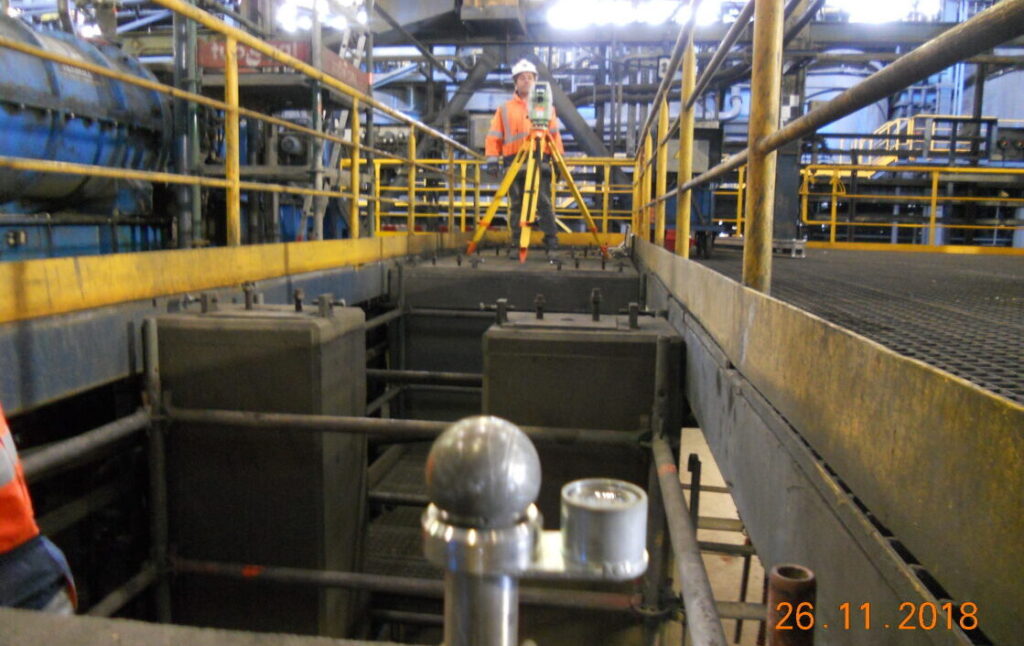
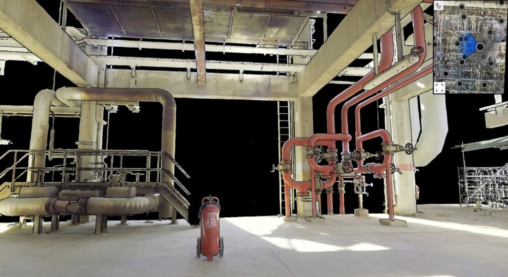
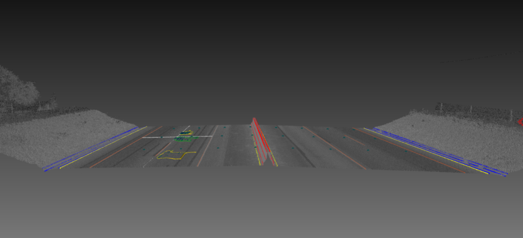
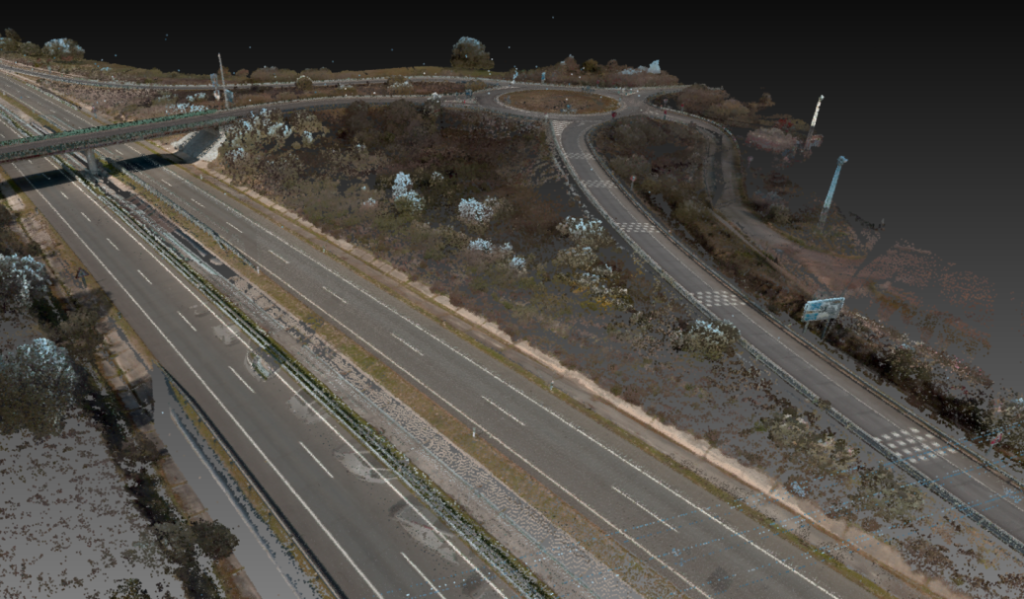
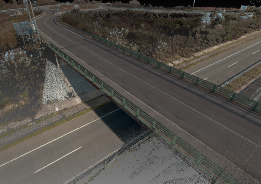
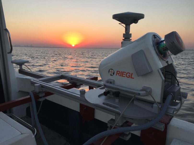
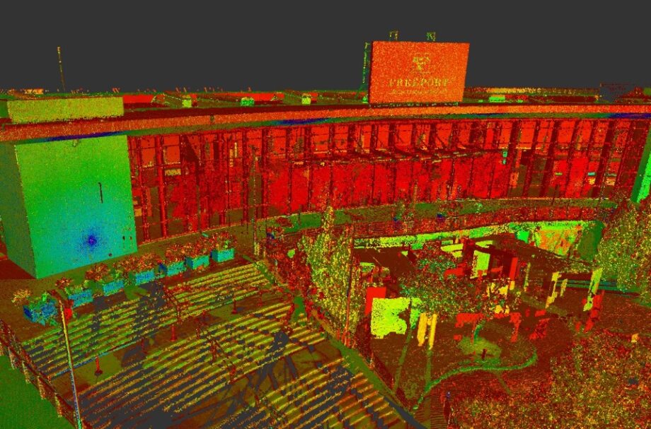
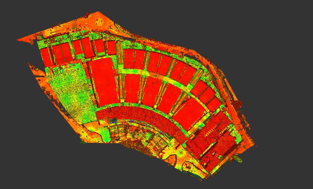
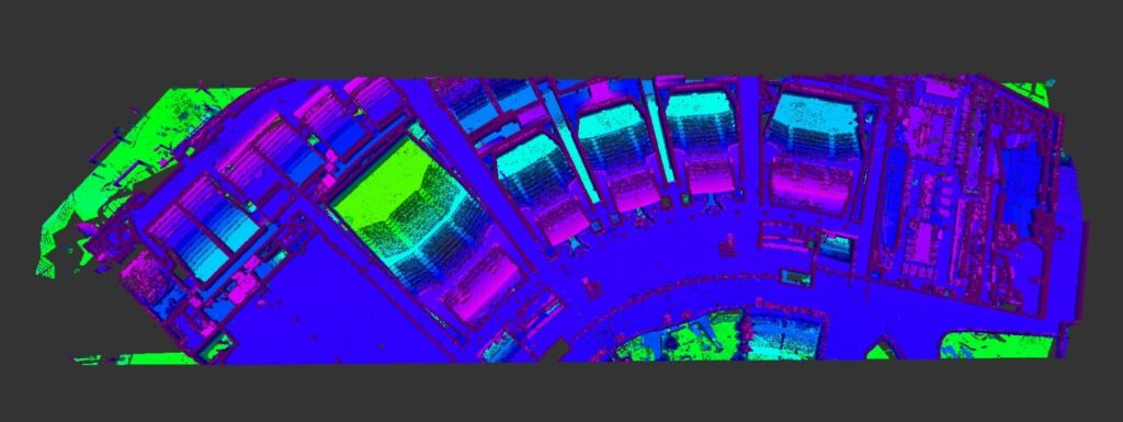
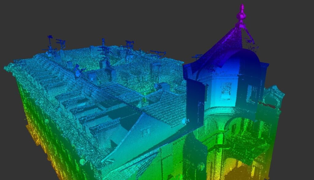
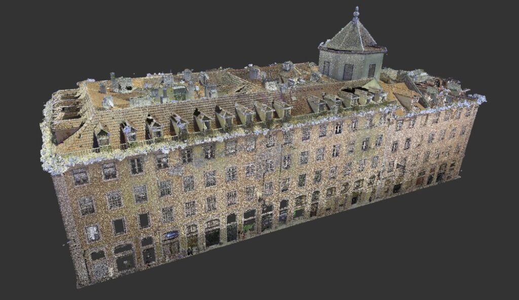
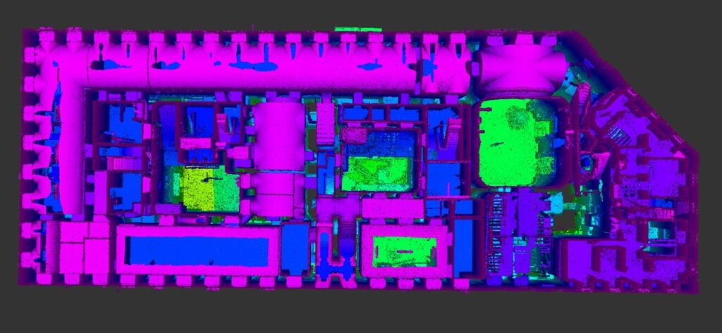
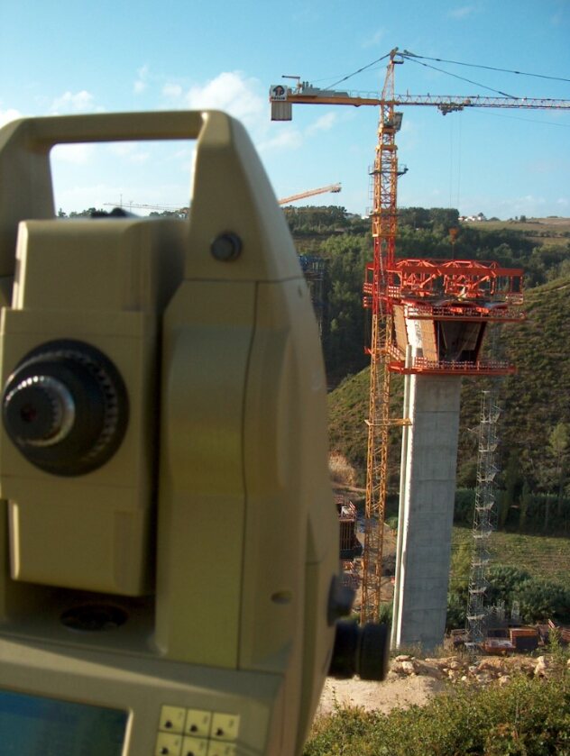
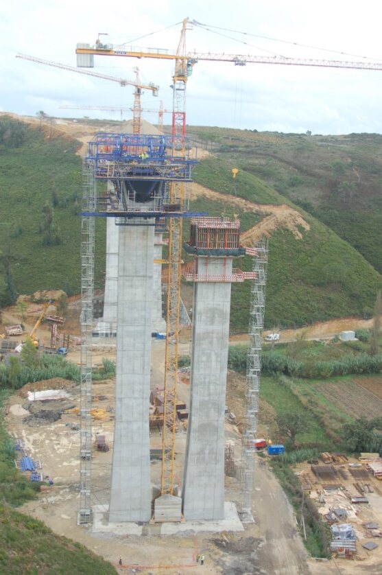
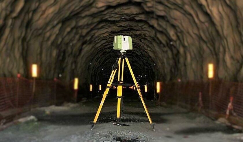
TLS
Terrestrial Laser Scanning
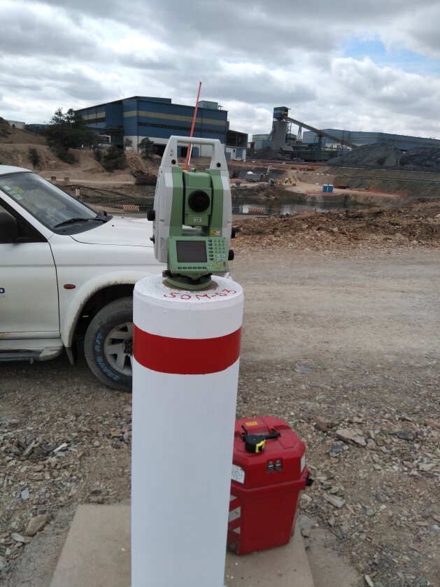
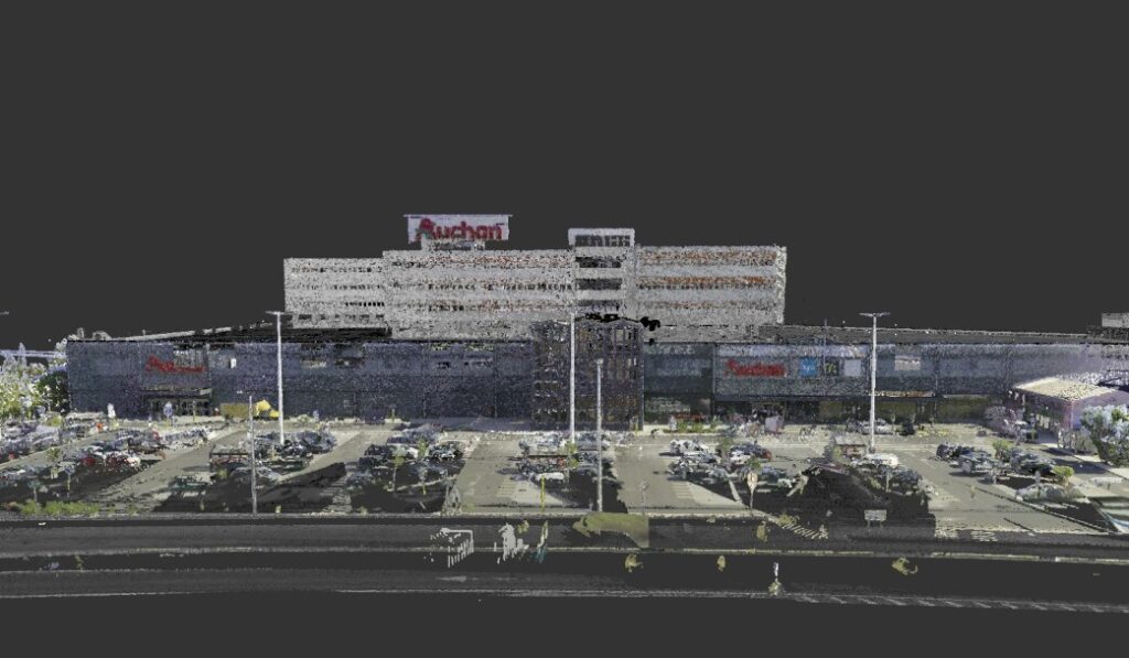
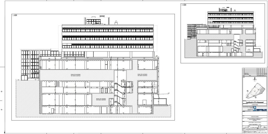
O TLS, vulgarmente conhecido por Laser Scan, oferece uma captura de dados de elevado nivel de detalhe, a uma velocidade e precisão incomparáveis a qualquer topografia convencional com recurso a estações totais ou sistemas GNSS.
A sua capacidade de capturar um enorme volume de dados em poucos minutos, é fundamental em projetos de engenharia e arquitetura de elevado grau de exigência, em trabalhos de inspeção e gestão de património, até à captação da realidade existente em zonas e ativos industriais.
1,2€/M2
We make reality digital LiDAR Technology | Fast | Precise | Insighful | Efficient Connect your Assets to the Virtual World
We make reality digital
LiDAR Technology
Fast | Precise |
Insighful | Efficient
Connect your Assets to
the Virtual World
Benefícios
- Rapidez e elevado rendimento na aquisição massiva de dados geoespaciais;
- Velocidade e simplicidade no processamento de dados digitais representativos da realidade no terreno;
- Segurança na recolha de dados minimizando riscos humanos em campo;
- Minimização ou total respeito pelos ecossistemas mapeados, evitando a intrusão no seu normal funcionamento;
- Alta Resolução e Precisão na captura da realidade;
- Garantia de cobertura de +95% dos elementos a mapear, evitando completagens topográficas convencionais;
- Custo-benefício aliado ao elevado grau de produtividade na captura e processamento dos dados;
- Elevadas rentabilidades técnicas e financeiras para poupar custos e tempos de projeto;
- Interoperabilidade dos dados recolhidos para uma grande quantidade de aplicações suportadas em dados LiDAR.